
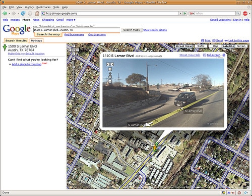
 There are many Google Maps mashups (customizations) that can help you get a feel for you next trip. Begin your travel planning with street views, videos, and 360 looks around using the follow Google Maps mashups for travelers
- Virtual Video Map – A world map with markers dotted all over the planet with a video from each location.
- Satellite-Sightseer – Ariel views from Google maps of many interesting places around the world, including Bill Gate’s house, the Grand Canyon, and the Pyramids at Giza.
- Virtual Tourism – Not the most intuitive website, but if you click around you’ll discover travel videos, and specialized Google Maps of music events, festivals, sporting events.
Google Maps mania has an extensive list of travel mashups if you haven’t gotten enough. After your plans go from virtual to real, display them by creating your own travel map, calculate distances, and get around traffic jams.
[photo by: webg33k]


Well said! I’d thoroughly recommend printing off google’s satellite imagery from google maps – if you look at the images, it’s dead easy to spot the beautiful, undiscovered, hard to access, unsignposted beaches…. try it! It works a treat in most places….
@ Big Travel Web:
Printing the imagery from Google Maps (or Google Earth) is an excellent idea.
@ Big Travel Web:
Many times I find awesome information online, but neglect to print it out and forget about it later!